ArcGIS is a mapping and analytics solution that helps businesses in healthcare, banking, manufacturing and other...
Software Advice offers objective, independent research and verified user reviews. We may earn a referral fee when you visit a vendor through our links.
Learn more
About IGiS Enterprise Suite
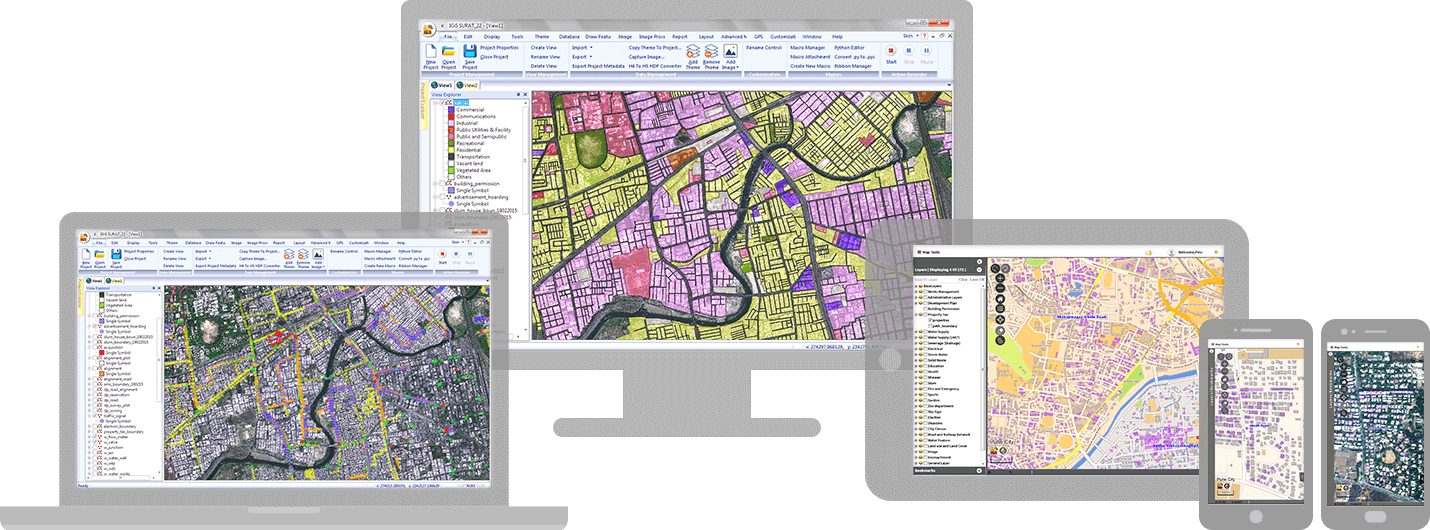
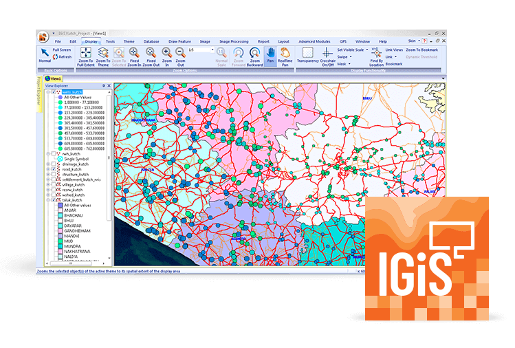
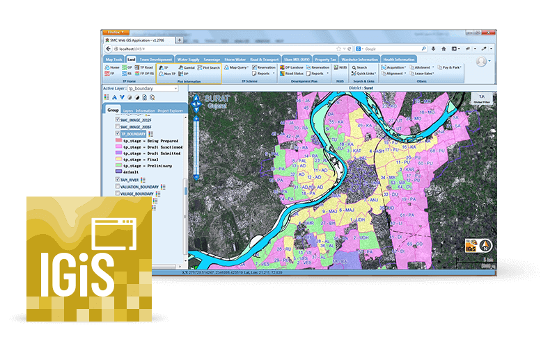
IGiS Enterprise Suite is a scalable geographic information system (GIS) solution designed to securely share geospatial data over the Internet and intranet. It can be used by organizations across various industries including agriculture, utilities, urban planning, forestry, and others.
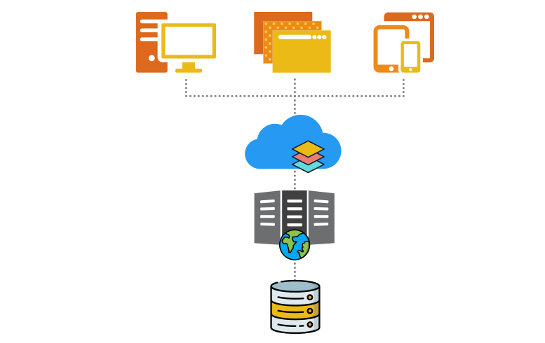
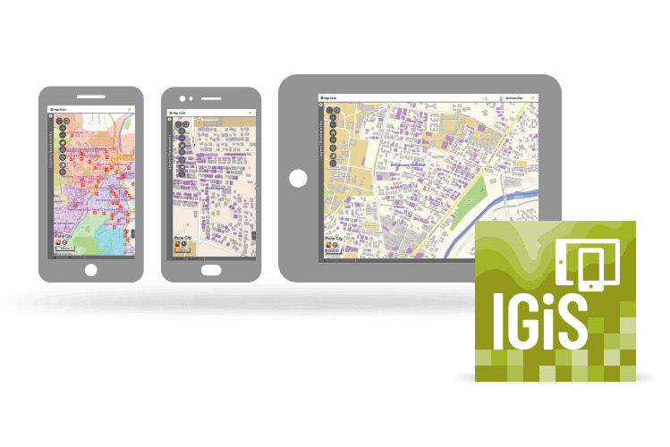
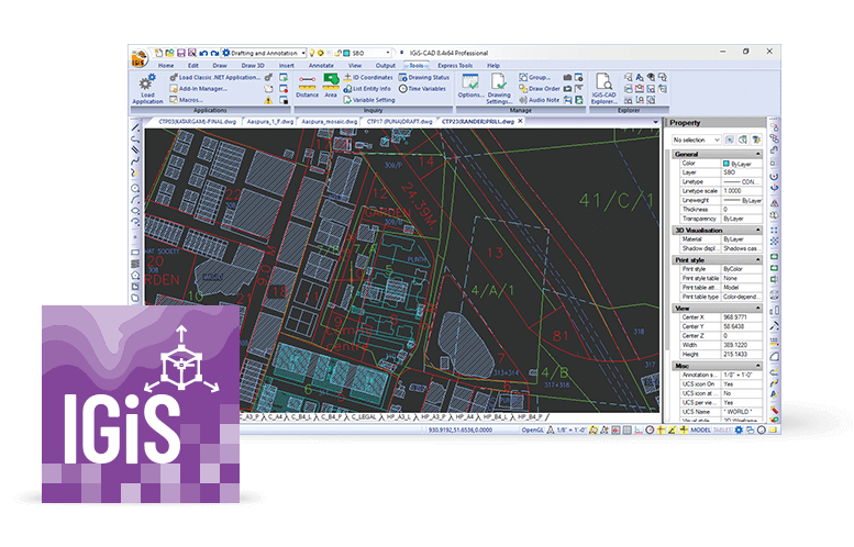
To support end-to-end enterprise geospatial solutions, IGiS Enterprise Suite offers robust capabilities and functionality. Its key components include Desktop, Server, Publisher, Web, Mobile, Widget, CAD, and SDK, plus access to various OGC compliance services. The suite offers tools for 2D and 3D geospatial analysis, mapping, and visualization.
Support for IGiS Enterprise Suite is provided by Scanpoint Geomatics via an online knowledge base and support desk.


IGiS Enterprise Suite pricing
IGiS Enterprise Suite does not have a free version and does not offer a free trial.
Starting Price:
Not provided by vendor
Free Version:
No
Free trial:
No
Alternatives to IGiS Enterprise Suite
IGiS Enterprise Suite Reviews
Feature rating
1 review
Verified Reviewer
- Industry: Hospital & Health Care
- Company size: 201–500 Employees
- Used Weekly for 1+ year
-
Review Source
5
Reviewed on 06/11/2023
Best GIS Enterprise Suite
IGiS Enterprise is the combination of GIS and image processing capabilities. This software is jointly developed by ISRO and SGL. I am using IGiS Desktop and photogrametery as well and utinilising this enterprise suite to share, manage, and distribute data with IGiS Server.
Pros
ISRO is the product development partner for IGiS, It's the most trusted name in the industry. Also, IGiS Enterprise Suite is the only GIS software with Integrated GIS and Image Processing Capability.
Cons
I am using this software from last 2+ years nothing I dislike.


